

Wells Gray Provincial Park
Wells Gray Provincial Park
Wells Gray Provincial Park is a vast wilderness area in east-central British Columbia, Canada. Encompassing 5,415 square kilometers (541,516 hectares or 1.3 million acres), it protects the southern and highest regions of the Cariboo Mountains. The park is the fifth largest in British Columbia, following Tweedsmuir, Tatshenshini, Spatsizi, and Northern Rocky Mountains provincial parks.
Topography
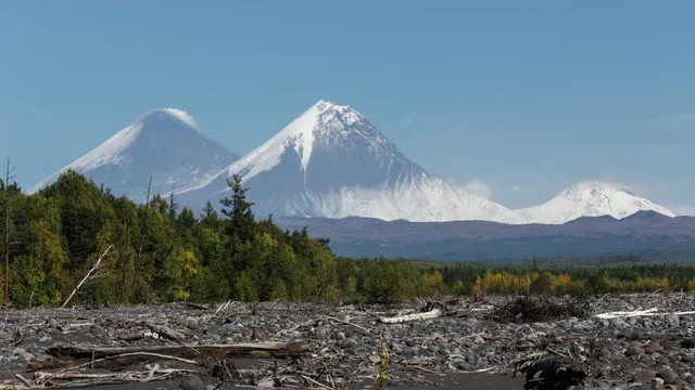
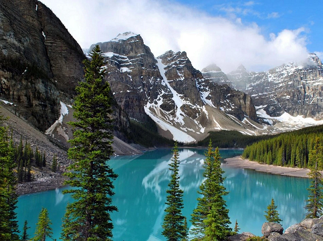
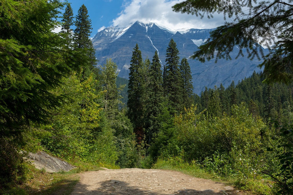
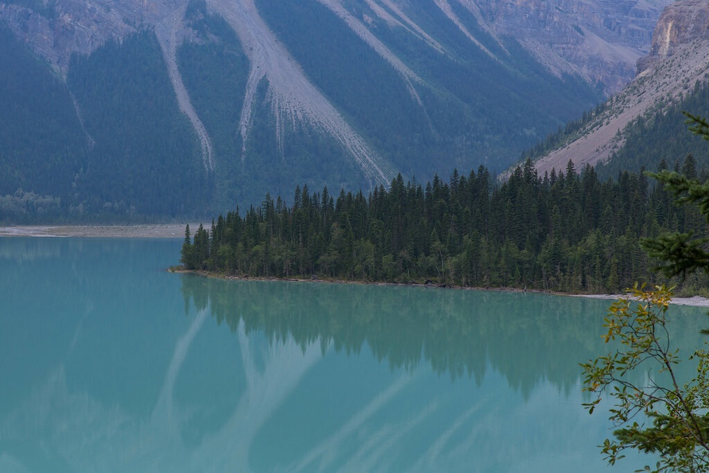
The park covers 60% of the Clearwater River's drainage basin, with most water originating within the park flowing into this river. The northern part of Wells Gray is rugged, with elevations ranging from 680 meters (2,231 feet) at Clearwater Lake to 2,946 meters (9,665 feet) at Mount Lyons. This area, part of the Cariboo Mountains, features deep glacially carved valleys and large lakes like Clearwater, Azure, and Hobson. The region remains largely unexplored, known mainly to hardy backpackers.
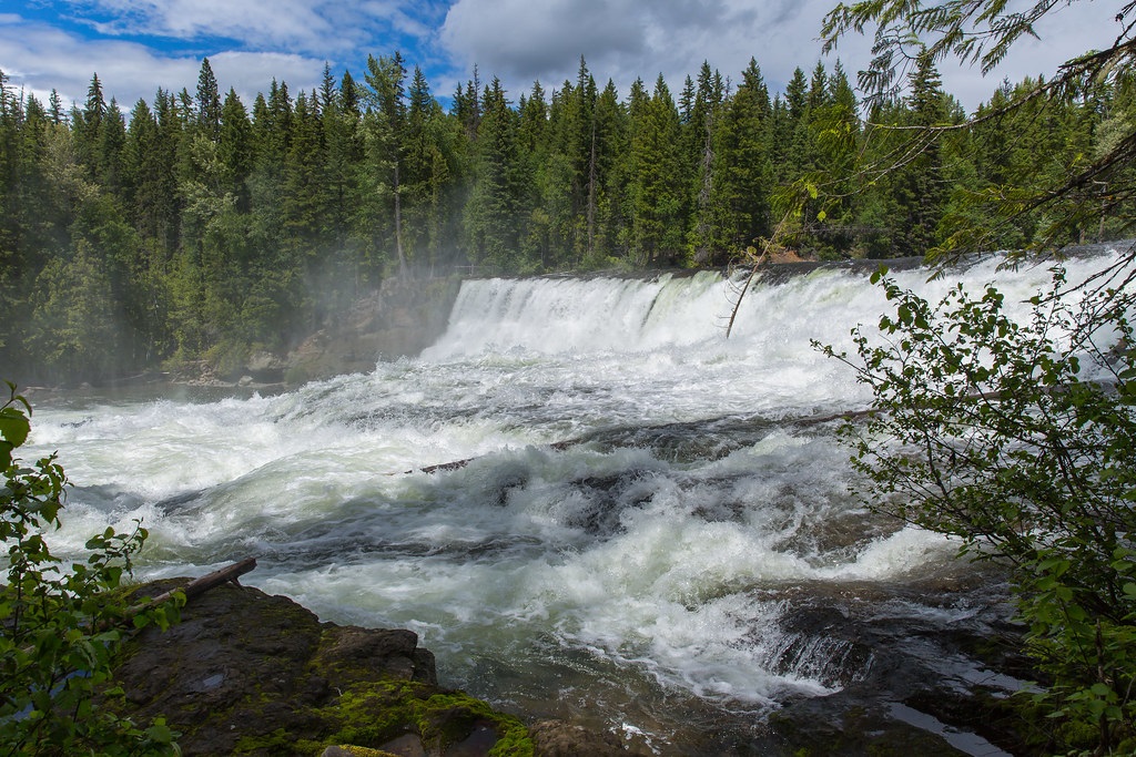
The southern part of the park is more accessible, with the Clearwater Valley Road traversing the area. The topography here includes volcanic plateaus, lava flows, and deep canyons, with several peaks exceeding 2,300 meters (7,546 feet). The park's famous waterfalls, including the 141-meter (463-foot) Helmcken Falls, are the result of volcanic and glacial activity.
Highest Mountains
The park's eight highest mountains are:
Mount Lyons (2,946 m) - First ascended in 2005, named after park surveyor Chess Lyons.
Mount Goodall (2,930 m) - Features 11 summits, first climbed in 2006.
Garnet Peak (2,876 m) - Prominent in southern Wells Gray, first ascended in 1974.
Black Cone (2,861 m) - Second highest in the Goodall group, first climbed in 2012.
Mount Pierrway (2,854 m) - First climbed in 1969, named after WWII casualty Alfred Pierrway.
Unnamed Peak (2,847 m) - Unclimbed, located near Mount Lyons.
Mount Hugh Neave (2,829 m) - Named after climber Hugh Neave, first ascended in 2019.
Unnamed Peak (2,797 m) - Located near Mount Beaman.
History
The Wells Gray area was originally a hunting ground for the Secwepemc, Tsilhqot'in, and Canim Lake Indigenous People. The Overlanders expedition in 1862 named the Clearwater River. The area was surveyed for the Canadian Pacific Railway in the 1870s but was deemed impractical for a railway. The park was created in 1939, named after Minister of Lands Arthur Wellesley Gray. The park boundaries have changed over time, and notable natural features include the Helmcken Falls and the recently discovered Sarlacc's Pit cave.
Clearwater River Dams
In the mid-20th century, there were proposals to dam the Clearwater River for hydroelectric power, which would have dramatically altered the park. These plans were eventually shelved due to environmental concerns and public opposition.
Natural History
Wells Gray Park hosts a diverse range of flora and fauna, including about 1,050 species of plants, over 275 bird species, and numerous mammals such as grizzly bears, moose, and wolves. The park's varied terrain includes influences from the Fraser Plateau, Cariboo Mountains, and semi-desert zones, creating a rich biodiversity.
Wildlife
The park is home to a variety of birds and mammals, including grizzly bears, white-tailed deer, beavers, moose, mule deer, black bears, and timber wolves.
Climate
Winters are severe with significant snowfall, while summers can be warm, reaching 30 degrees Celsius. Precipitation varies, with higher amounts near the mountains. Fall features clear days and cool nights.
Access
There are five main access roads to Wells Gray Park:
Clearwater Valley Road - Main access road, leading to many of the park's attractions.
Clearwater River Road - Accesses the western side of the Clearwater River.
Mahood Lake Road - Leads to Mahood Lake and its attractions.
Murtle Lake Road - Rough road leading to Murtle Lake, a large paddle-only lake.
Flourmill Volcanoes Road - Provides access to the Flourmill Volcanoes area.
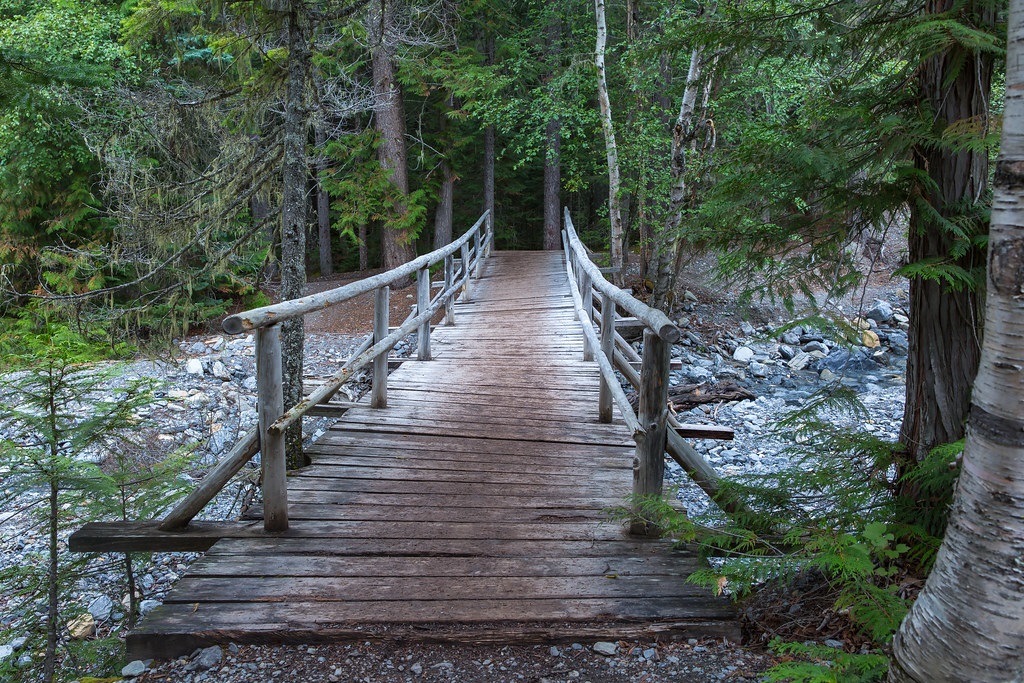
Attractions
Major attractions include Helmcken Falls, Spahats Falls, Trophy Mountain, Third Canyon, Moul Falls, Green Mountain, Dawson Falls, The Mushbowl, Ray Farm, Bailey's Chute, Clearwater Lake, Murtle Lake, Canim Falls, and Mahood Lake. The park is popular for camping, hiking, and sightseeing from mid-May to mid-October.

